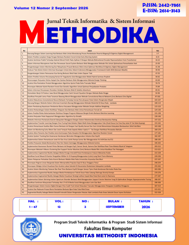
PENERAPAN WEBGIS UNTUK VISUALISASI DAN ANALISIS LOKASI SEKOLAH DI KECAMATAN NUBATUKAN KABUPATEN LEMBATA
DOI:
https://doi.org/10.46880/mtk.v12i2.5931Keywords:
WebGIS, Geographic Information System (GIS), School Location, Spatial Analysis, ArcGIS, Digital MappingAbstract
Nubatukan District, Lembata Regency, has 42 schools ranging from elementary to senior high school level spread across its villages, yet information on their locations and distribution has not been presented spatially in an accessible way. This study aims to design and build a WebGIS application as a medium for visualizing and managing school location data in the district. The system was developed using PHP, HTML, CSS, JavaScript, and a MySQL database, supported by ArcGIS and Google Earth Pro for spatial data processing, and was tested through blackbox testing and a Likert-scale User Acceptance Test (UAT) involving 44 respondents. Blackbox testing results show that all application functions operate according to the designed requirements, while the UAT obtained a user acceptance rate of 89.13%, categorized as very good. The developed WebGIS application therefore effectively displays the distribution of schools interactively and benefits the community and local government of Nubatukan District in accessing educational information.
References
R. Tambun, “Sistem Informasi Geografis Pemetaan Sekolah Berbasis Web Di Kota Pematangsiantar,” vol. 6, no. 2, hal. 1–5, 2022.
A. Al Ambiyah, L. Ode, P. Aqsan, dan J. Nangi, “Dan Analisis Spasial Fasilitas Umum Di Kota Kendari Menggunakan Leaflet . JS,” vol. 9, no. 5, hal. 7682–7689, 2025.
Manshur, “Jurnal Geodesi Undip Januari 2020 Jurnal Geodesi Undip Januari 2020,” hal. 227–236, 2020.
J. Nangi et al., “Implementasi sistem informasi geografis sekolah berbasis website di kota kendari,” vol. 9, no. 5, hal. 7482–7488, 2025.
A. Nurfadia, H. S. Purba, dan M. H. Adini, “Pengembangan Web GIS untuk Pemetaan Persebaran Daerah Asal Mahasiswa Program Studi Pendidikan Komputer FKIP ULM Banjarmasin,” vol. 5, hal. 114–126, 2025.
K. Metode, B. Dan, dan I. Dalam, “Jurnal Geodesi Undip Januari 2024,” 2024.
E. A. Pora, F. E. Neno, dan E. D. Ege, “Sistem Informasi Geografis Pemetaan Lokasi Sekolah di Wilayah Kecamatan Wewewa Tengah dengan Menggunakan Metode Arcview GIS,” J. Kridatama Sains Dan Teknol., vol. 5, no. 02, hal. 295–309, 2023, doi: 10.53863/kst.v5i02.941.
S. Achmadi dan H. Z. Zahro, “Pemanfaatan Sistem Informasi Geografis Untuk Pemetaan Sekolah Sma / Smk Di Kota Malang,” vol. 4, no. 2, hal. 230–238, 2020.
K. Di, K. Labuhanbatu, dan M. Webgis, “No Title,” vol. VII, no. 2, 2021.
V. D. Boboy, Y. R. Kaesmetan, S. Informasi, dan S. U. Kupang, “Penerapan Sistem Informasi Geografis untuk Optimalisasi Lahan Pertanian Berkelanjutan di Kabupaten Kupang Informasi Artikel global seperti penurunan kualitas tanah , perubahan iklim , dan penurunan produktivitas Kabupaten Kupang merupakan salah satu wilayah di Provinsi Nusa Tenggara Timur ( NTT ) yang memiliki potensi besar dalam sektor pertanian ( Amri & Kurniabudi , 2024 ).,” vol. 4, no. 1, hal. 14–27, 2025, doi: 10.55123/jumintal.v4i1.5004.
A. Rafsanjani, “Visualisasi Webgis Potensi Fisik Dan Sosial Nagari Koto Sani Sebagai Sumber Belajar Geografi,” vol. 3, 2023.
R. Al Fauzi, E. O. Dewi, A. Rizara, dan R. Ridwana, “Perbandingan Arcgis Dengan Google My Maps Sistem Informasi Geografis,” vol. 10, no. 2, hal. 186–196, 2022.
R. Noviana, F. Teknologi, I. Jurusan, dan T. Informatika, “Pembuatan Aplikasi Penjualan Berbasis Web Monja Store Menggunakan Php Dan Mysql,” Vol. 1, No. 2, Hal. 112–124, 2022.
R. A. Akbar, Y. P. Telkom, S. M. K. T. Sidoarjo, P. Keahlian, P. Perangkat, dan L. Dan, “Pemanfaatan Aplikasi Visual Studio Code Dalam Pembuatan Web Di Era Modern,” hal. 1–13, 2024.
C. K. Zuhra, H. Setiawan, dan A. Info, “Sistem pencatatan kas masjid berbasis web,” vol. 1, no. 1, hal. 21–28, 2022.
Downloads
Published
How to Cite
Issue
Section
License
Copyright (c) 2026 Djunus Bruno Djunior, Remerta N. Na’atonis, Skolastika Siba Igon

This work is licensed under a Creative Commons Attribution 4.0 International License.